Your eyewitness sightings help conservation scientists and local communities protect elephants across the Kavango–Zambezi landscape — in real time. Your photos support live monitoring, improve rapid response, and strengthen peaceful coexistence between people and wildlife
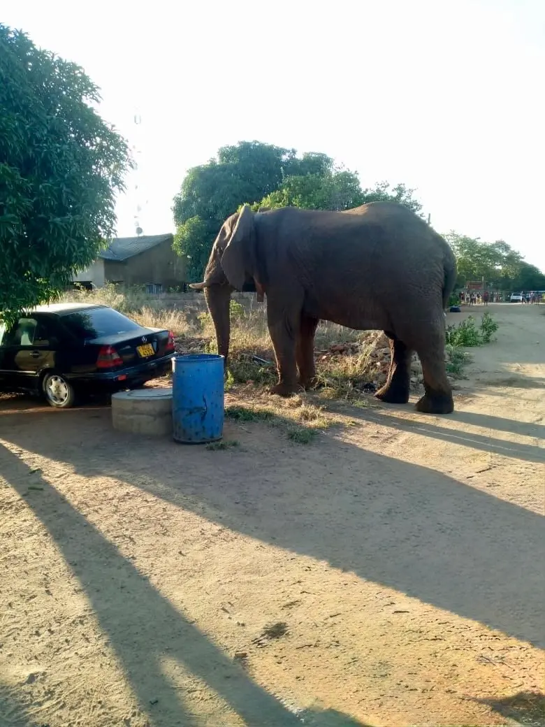
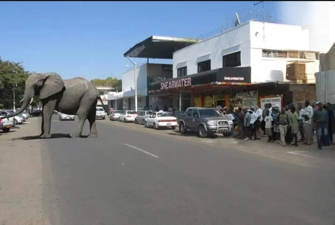
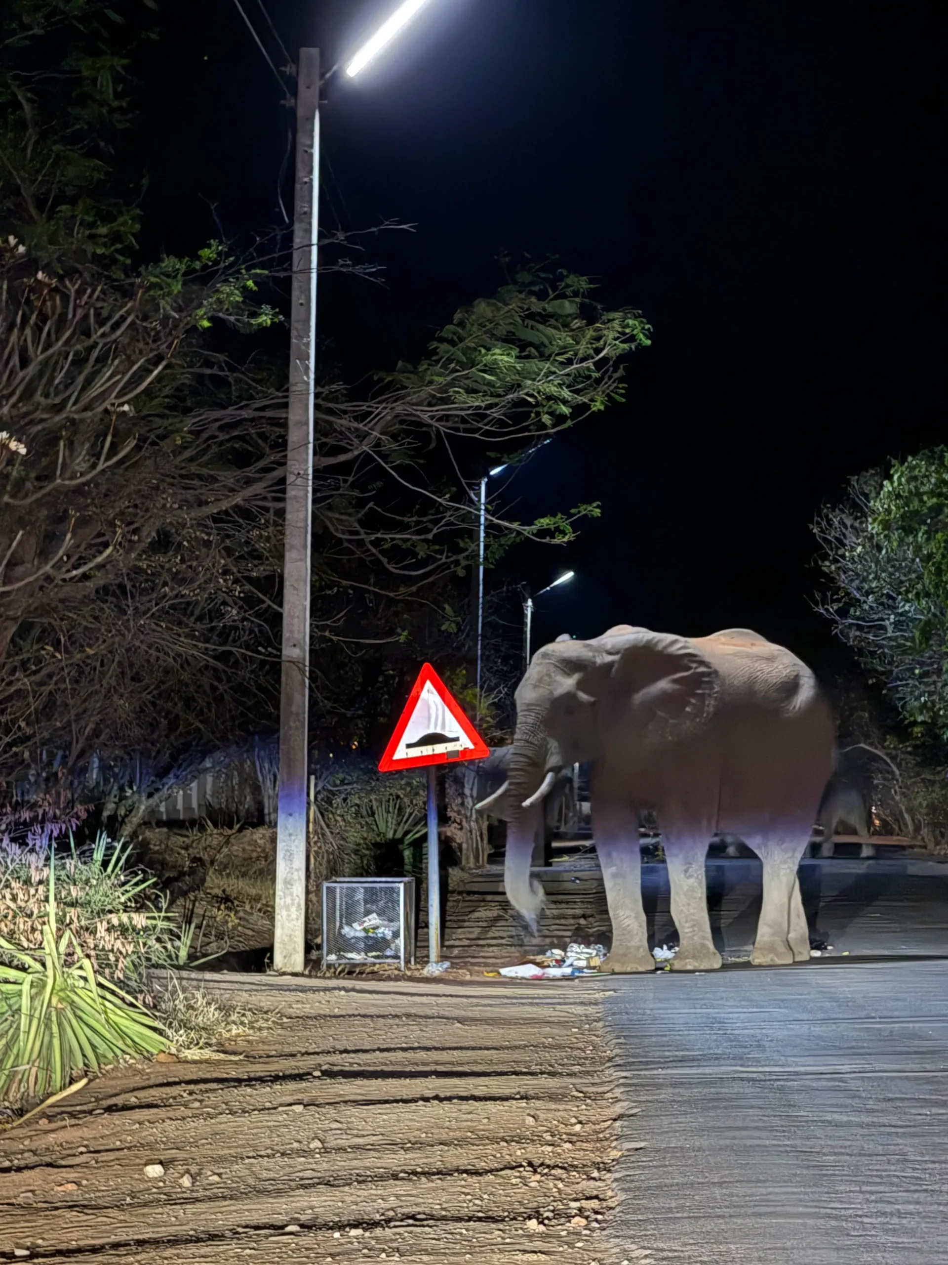
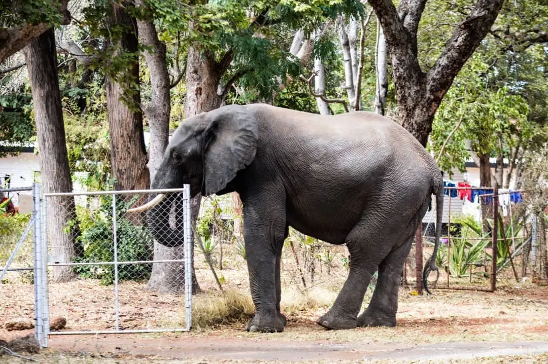
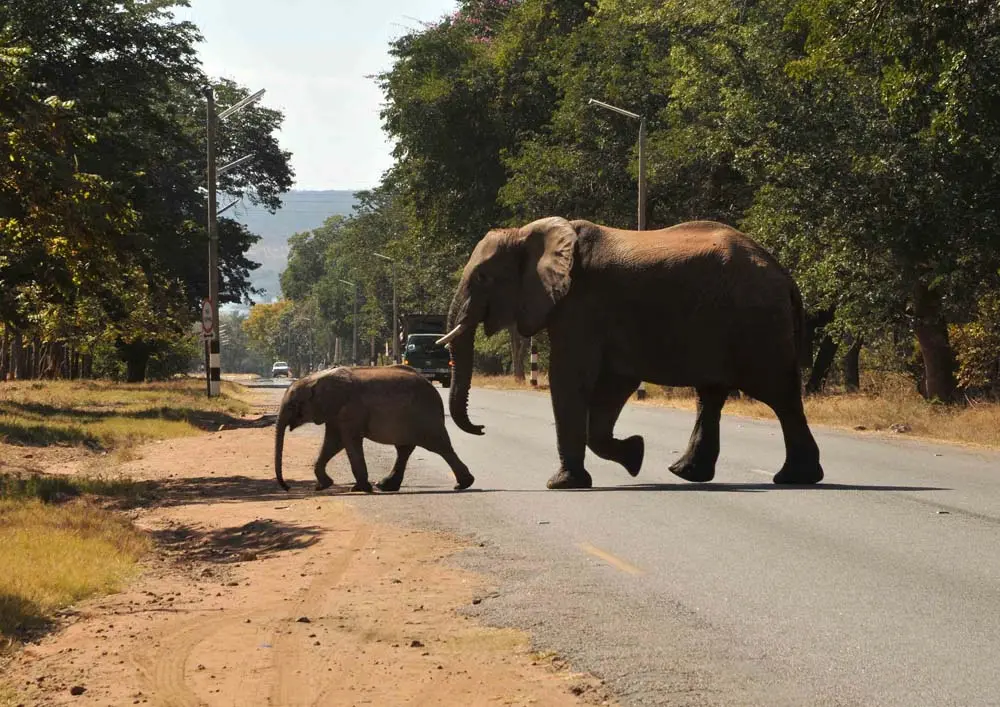
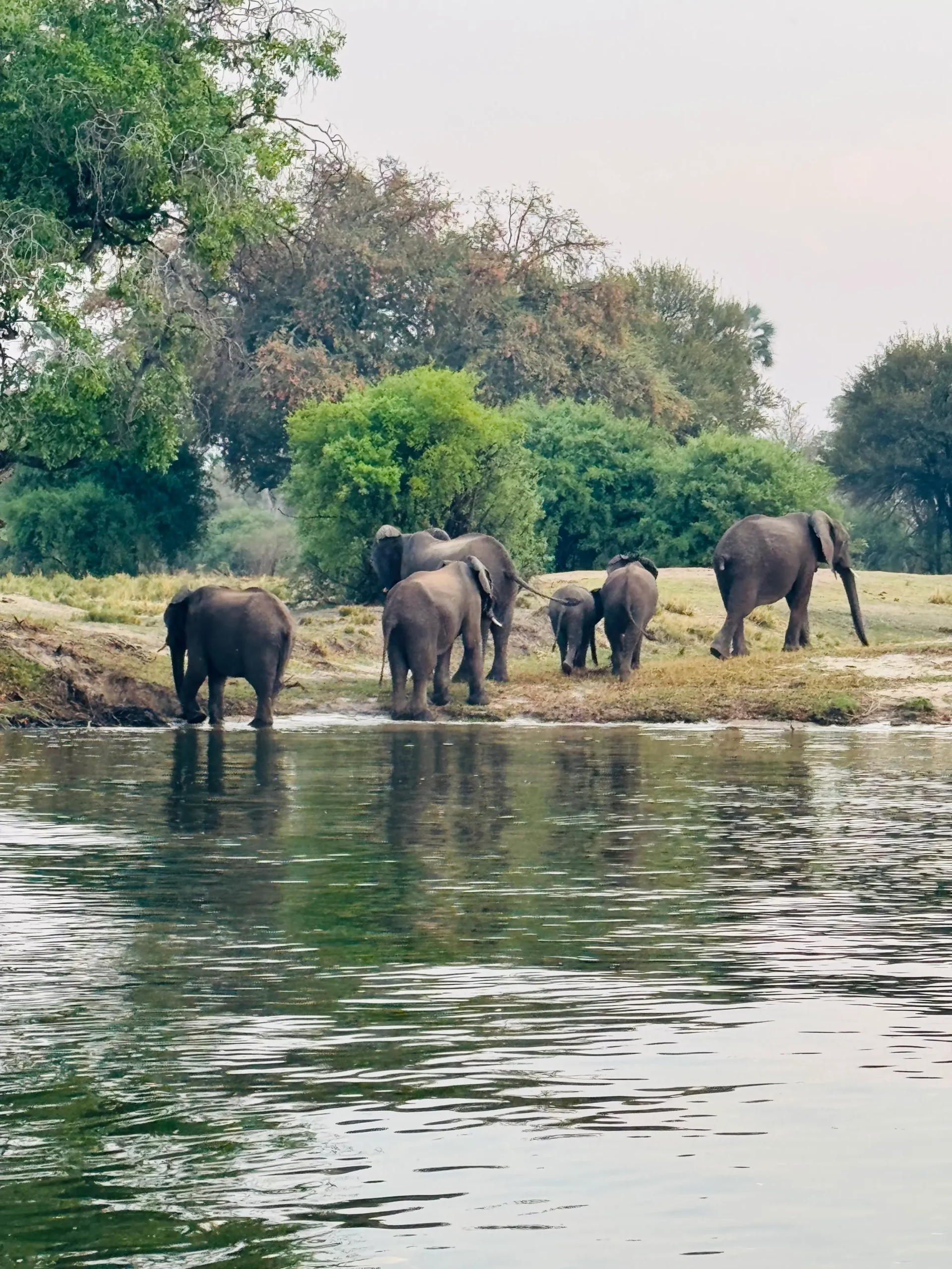
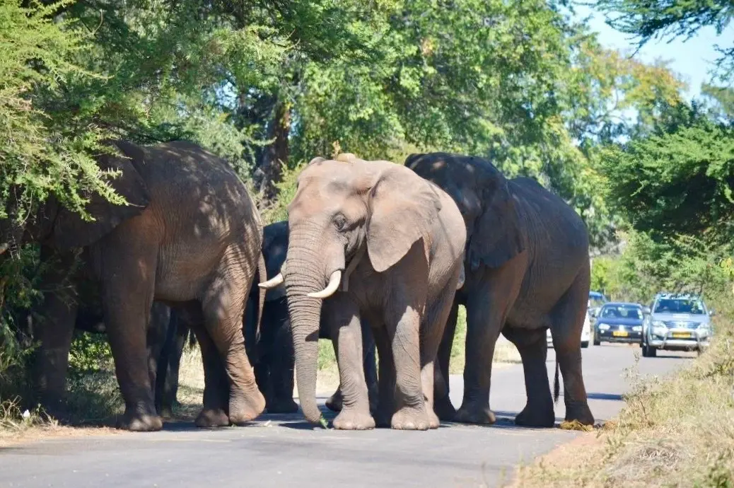
Elephants move through shared landscapes every day — from protected wilderness and communal land to the edges of towns and villages. Understanding how they navigate these spaces is essential for keeping both people and elephants safe.
Connected Conservation’s Citizen Science Program brings community members, guides, rangers, lodges, and travellers into the heart of conservation work. By combining satellite collar data, field patrols, and your on-the-ground sightings, we build a clearer, more accurate picture of elephant movement patterns — right when they happen.
This collaboration strengthens early-warning systems, informs planning and response, and creates a shared sense of responsibility for protecting one of Africa’s most iconic species.
When communities, technology, and field science come together, we can reduce human-wildlife conflict, anticipate risk, and support the safe passage of elephants through traditional ranges.
Prevent Human–Elephant Conflict: Alerts help communities make safer choices during evening movement and farming periods.
Verify Satellite Tracking: Photos validate collar data, fill blind spots, and help us understand corridor use.
Support Rapid Response: Sightings trigger communication with rangers, community officers, and partners when elephants approach busy or vulnerable
Strengthen Long-Term Planning: Data supports habitat planning, safety signage, and land-use decisions.
Every photo supports Connected Conservation’s research and impacts real-world policy decisions that keep people and elephants safe.

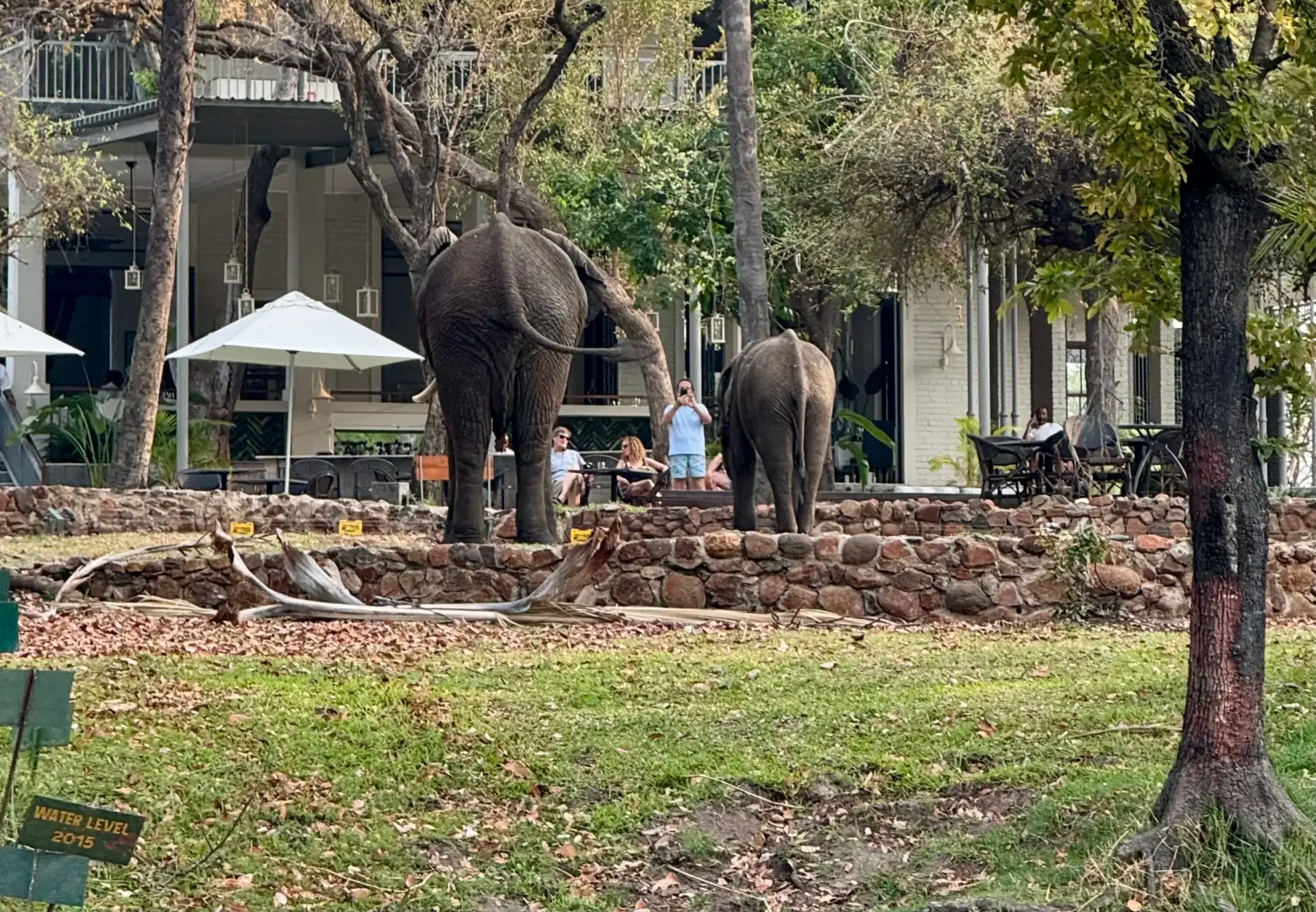
Whether in town, on the road, or in the field — collared or not.
Include as many individuals as possible.
Send the photo and your pin drop on WhatsApp.
That’s it — you’ve contributed to real-time conservation!
Our citizen science work is made possible through collaboration with communities, government authorities, research partners, and local leadership.
In partnership with:
Together, we are building a shared future where wildlife and communities thrive side by side.